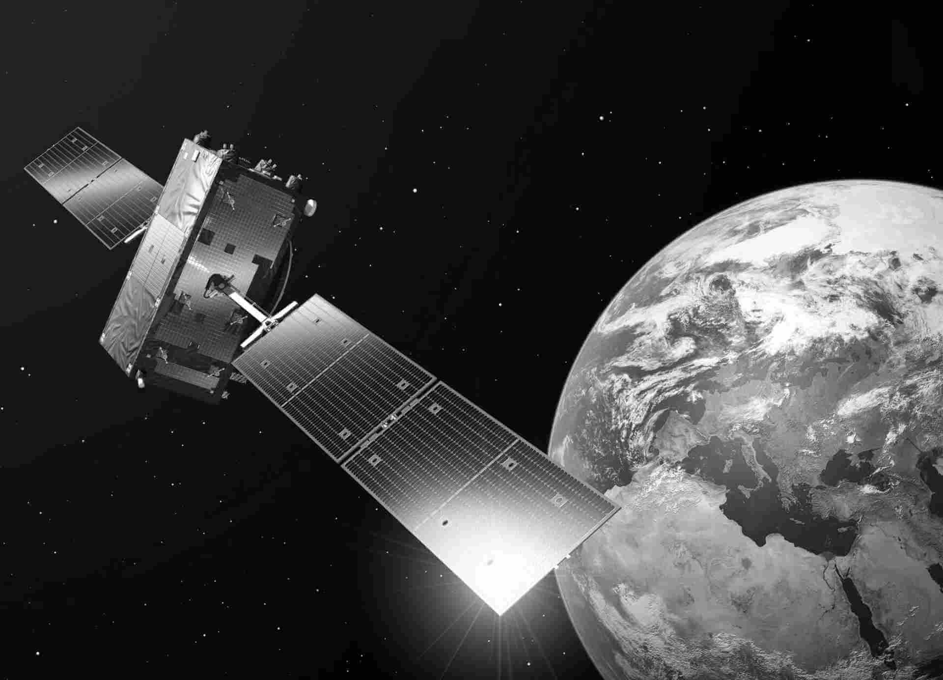
Sentinel-1 L0 RAW
The Sentinel-1 SAR Level-0 products collection consist of compressed and unfocused SAR raw data. Level-0 products are the basis from which all other high level products are produced. RAW products are generated from all four Sentinel-1 imaging modes:
- Stripmap (SM)
- Interferometric Wide Swath (IW)
- ed SAR raw data. Level-0 products are the basis from which all other high level products are produced. RAW products are generated from all four Sentinel-1 im
- Extra Wide Swath (EW)
- Wave (WV)
Product details
Level-0 SAR products contain the raw SAR data from the unprocessed Instrument Source Packets (ISP). Level-0 products are sub-divided into four product classes:
- SAR Level-0 standard, representing the stream of ISPs containing SAR echo, calibration or noise signal
- SAR Level-0 calibration, represent the calibration pulses as extracted from the SAR ISPs stream
- SAR Level-0 noise, represent the noise and noise-equivalent pulses as extracted from the SAR ISPs stream
- SAR Level-0 annotation, contain the primary and secondary headers extracted from the SAR ISPs strea
Level-0 products may include data in single polarisation mode (HH or VV) or, for SM, IW and EW modes, they may include dual polarisation modes (HH+HV or VV+VH). For dual polarisation data, data for each polarisation are available in separate files within the Level-0 product.
Availability:
Germany: 2014-10 - now
Europe: Last 6 months
Global: Last 6 months
Updates
Systematic continuous updating
Access
Depending on the environment and the intended use, there are several ways to access the data:
- EO Browser: -
- EO Finder:
- Data Catalogue: CODE-DE or CREODIAS
- Collection: Sentinel-1
- Product Type: RAW
- Sensor Mode: EW, IW, SM or WV
- Path to repository on a Virtual Machine:
- /codede/Sentinel-1/SAR/RAW
- /eodata/Sentinel-1/SAR/RAW
| General | Description |
|---|---|
| Sensor | C-SAR |
| Data Type | Unfocused SAR raw data |
| File Format | GeoTIFF |
| Resto Platform | S1A,S1B |
| Resto Collection | RAW |
| Resto Instrument | SAR |
| Temporal Coverage | 10/2014 - now |
| Vertical Coverage | 46.5N - 55.0N |
| Horizontal Coverage | 5.0E - 14.6E |
Pricing
Pleiades, SPOT & Vision-1
All prices in this list are in Euros, per square kilometre. The prices and minimum order values apply regardless of the:• Spectral band combination1 for Pléiades and Vision-1 archive imagery and One Tasking
- Geometric processing level2
- Radiometric processing level3
- Image format
- Image encoding
- Available projections
Archive prices apply as soon as the data is available in the Airbus imagery catalogue.For complete information on the range of SPOT, Pléiades and Vision-1 products, processing options and data access, please refer to the documentation available at www.intelligence-airbusds.com and the GeoStore online catalogue (www.geostore.com) or contact our Customer Service at intelligence-services@airbus.com for a quotation or an archive search.

| Satellite | Minimum order size | Minimum width |
|---|---|---|
| Pleiades & Vision-1 | 25km2 | 500m in any direction |
| SPOT 6/7 | 100km2 | 5km in any direction |
| SPOT 1-5 | 3,600km2 | 1 scene |
Mono Imagery
| Archive | Satellite | Band combination | Standard delivery <24 hours |
|---|---|---|---|
| 50cm Colour or B&W | Pleiades | All | €10.00 |
| 90cm Colour or B&W | Vision-1 | All | €5.00 |
| 1.5m Colour | SPOT 6/7 | Pan-sharped or Bundle | €3.80 |
| 1.5m B&W | SPOT 6/7 | Panchromatic | €2.90 |
